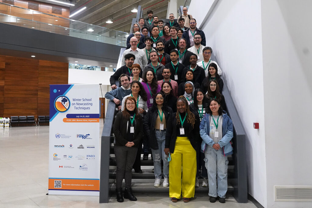
Location
Departamento de Ciencias de la Atmósfera y los Océanos, Facultad de Ciencias Exactas y Naturales, Universidad de Buenos Aires, Buenos Aires, Argentina (WMO Regional Training Center).
Date
The course will take place from Monday, July 14 to Friday, July 25, 2025.
Description
As the frequency and intensity of extreme weather events continue to rise globally, the need to develop robust forecasting and preparedness strategies becomes ever more crucial, especially for least-developed countries that often lack the necessary infrastructure and resources to mitigate these impacts. In these vulnerable regions, high-impact weather events such as severe storms, flash floods, and droughts can lead to devastating consequences, including loss of life, economic setbacks, and long-term displacement of communities. Improving our ability to predict and respond to such extreme weather events is not just a matter of technological advancement but a critical step towards ensuring the safety and resilience of populations most at risk. To reduce the negative effects of weather-related disasters and support decision-making at different levels, improved National Meteorological Hydrological Services (NMHS) and robust early warning systems for high-impact weather are fundamental.
Nowcasting, defined as the forecasting of weather conditions over very short timescales ranging from a few minutes to several hours, is particularly valuable for issuing timely warnings. There are numerous nowcasting methods, ranging from simple techniques like the extrapolation of radar precipitation echoes to more sophisticated systems that integrate outputs from feature detection and nowcasting algorithms with rapidly updating displays of observations and numerical weather prediction (NWP) outputs.
Due to the transient nature and smaller scale of certain weather phenomena, such as tornadoes, microbursts, and highly precipitating systems, the selection of nowcasting techniques for intense or severe weather warnings often depends on the specific characteristics of these events; in these instances, simple extrapolation techniques are frequently used. For weather phenomena with longer durations and larger spatial extents, nowcasting systems have been developed to utilize observations in combination with NWP forecasts, extending the nowcast guidance out to 6 hours.
Training students in these diverse techniques is crucial to equip the next generation of meteorologists with the skills necessary to provide accurate and timely weather warnings, especially as extreme weather events become more frequent and severe.
We will offer participants the opportunity to take an active role in improving operational Weather Forecasting services provided by their National Meteorological and Hydrological Services, moving between roles with a focus on research, development, and operational delivery, as well as improving communication skills. We understand meteorologists should improve their attributes to provide more complex and multifaced products with increased complexity and accurate information toward an impact-based forecast product.
Course Format
Lectures: The keynote lectures, 120 min each, comprise the following topics (in-person and online lectures), these classes will be broadcast at YouTube:
• Fundamental of Remote Sensing: New Generation geostationary Satellite Information (GOES, Meteosat, Himawari).
• Fundamental of Remote Sensing: Lightning Data GOES-GLM and Ground surface networks.
• Fundamental of Remote Sensing: Radar Information. Local radar networks. Differences between C and S bands.
• Mid-Latitude Local Storms. Organized Convection. Severe Weather.
• Tropical Storms. Hurricanes.
• Nowcasting: extrapolation techniques.
• Kilometer scale NWP and microphysics parameterizations
• Convective Scale Data Assimilation
• Probabilistic Forecasting in nowcasting and very-short range scale.
• Forecast Verification. Impact Based forecast.
Each lecture will be followed by 30 minutes of Q&A time in which students can ask questions, some of which could also provide the instructor inspiration for new ideas for future studies.
A 30-minute coffee break will be offered to students and trainers improving networking activities between the group.
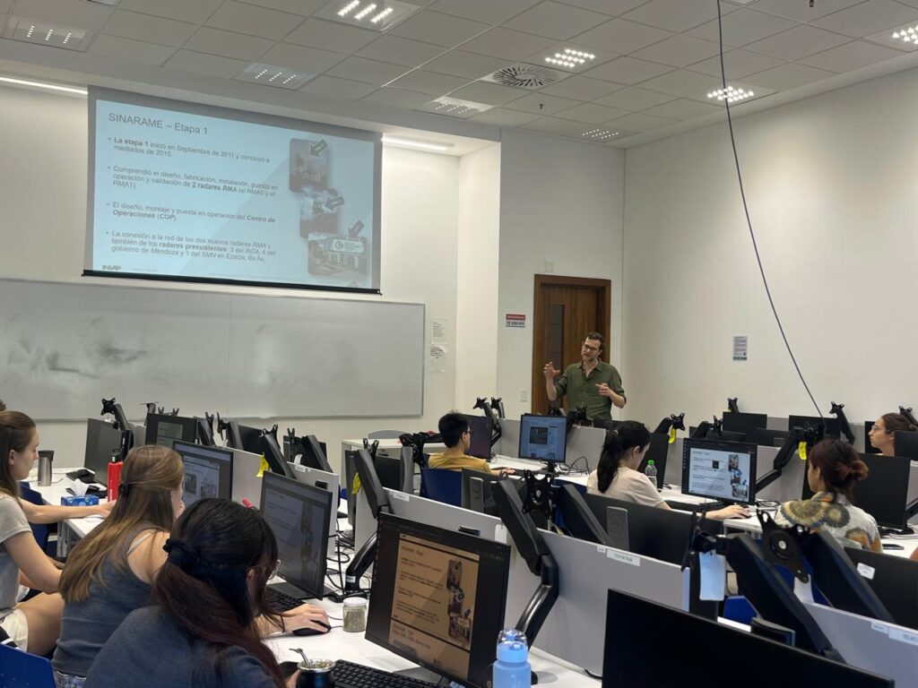
The lectures will be followed by a hands-on 120-minute session where students will analyze local case studies using different technologies discussed in class discussing physical processes involved in each event. Two students will share a computer.
A key component in training the next generation of weather forecasters and atmospheric scientists is providing them with hands-on experience through research on specific scientific topics.This experience should be complemented by a collaborative environment where students can work closely with peers and instructors, fostering teamwork and the exchange of knowledge and skills. As part of their training, participants will work in groups on selected case studies, analyzing real-world scenarios. Each group will present their findings and analysis on the final day of the course, allowing them to showcase their understanding and gain valuable feedback.
Expected Learning Outcomes
By the end of the course, the students will have successfully achieved the following outcomes:
• Provide students with the theoretical knowledge to understand the dynamic and thermodynamic processes that promote, control, and sustain the formation of precipitating systems in tropical and mid-latitudes.
• Raise awareness of the importance of understanding the limitations of remote sensors in studying precipitating systems that generate high-impact meteorological phenomena, to encourage a critical use of their products and a deeper understanding of the current limits of the state of the art in science.
• Promote the critical analysis of the results from observational analyses of meteorological information, nowcasting, numerical and statistical forecast models, remote sensors, and their applications in precipitating systems in tropical and mid-latitudes.
Target Audience and Qualifications
The primary audience will be meteorologists working in operational National Meteorological and Hydrological Services, specialized technicians, and students of master/Ph.D. Participants should have at least a bachelor’s degree or have an equivalent level of academic background in atmospheric science. Forecasters are expected to have at least 2 years of work experience, knowledge of meteorology, and sufficient command of spoken and written English.
The course can accommodate up to 25 students.
A limited number of scholarships (travel assistance and daily subsistence allowance) will be available for students from developing countries.
Registration closed. Final Decision will be submitted soon.
Instructor and Qualifications
The instructors are experienced meteorologists from the National Weather Service, university professors, and researchers from various regions around the world, including Argentina, Brazil, Canada, Japan, and the USA, all of whom hold Doctorate degrees. Lectures will be from 12-15 UTC and hands-on exercises will be from 16-19 UTC (hours could change depending on the room availability).
Language
The course will be conducted in English, with local instructors available to provide translation into Spanish and Portuguese if needed.